About D-Data
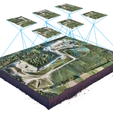
D-Data is a full-service Aerial Survey & Geospatial Solutions provider based in Riyadh, KSA. It is offering a spectrum of Customized Solutions to Public and Private sectors for various and multi-level projects and domains starting from the small to large scale projects such as infrastructure such as roads, power and water transmission lines, railways, bridges, dams, water reservoirs, airports, industrial complexes, oil and gas operations, and sea water desalination plants and complexes.
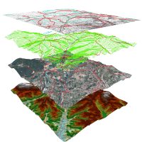
D-Data also offers its clients a full spectrum of Geospatial products, GIS application and database chains including consulting, data collection, processing, storage and customized Software Solutions and services and a host of software products.
