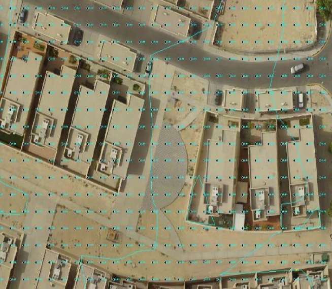
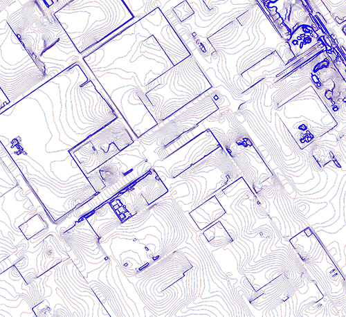
D-Data also produces Contour Maps from the data collected off UAV survey , those Contour Maps shows the hierarchy of the site and shows the heights and decreases and level of gradation, by any terminator starts from 25 cm and extends to several meters and according to the request of the client.