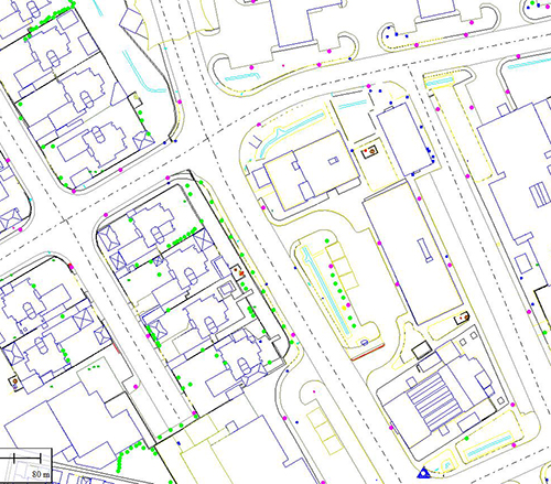
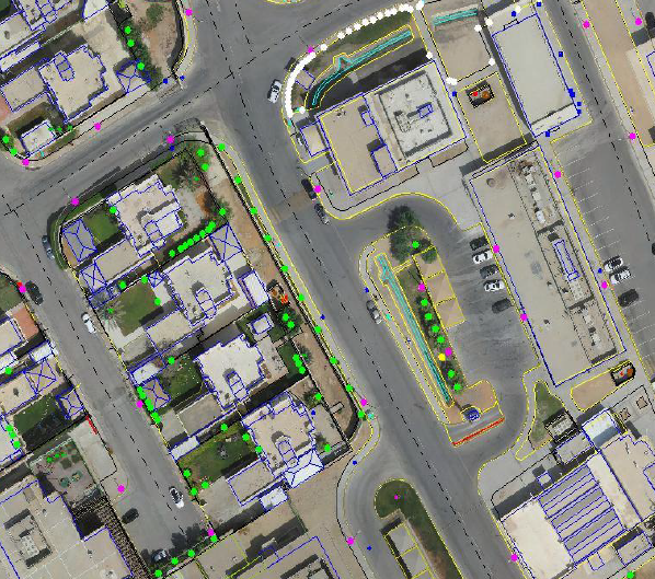
D-Data understands that the requested assignment is to build a new Digital Geospatial Data compiled from the new UAV Campaign. The Vector compilation will be made from the set of UAV imagery, All features will be extracted using the newly captured UAV images. All visible features will be extracted in 3D from the stereo images, (Buildings , Roads ,
Agriculture areas , Terrain classification , Trees , Walls , Fences , Gates , Manholes , Poles , Spot heights , Wadis , etc…