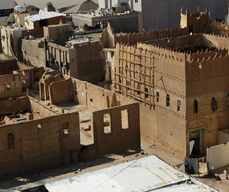
D-Data is able to execute an accurate scanning of any object and deliver a 3D model.
To be able to build a detailed and accurate 3D model of any object , and avoid gaps and dead angle, we should conduct a high resolution (1cm) oblique survey of the concerned object using a copter type drone with high resolution camera.
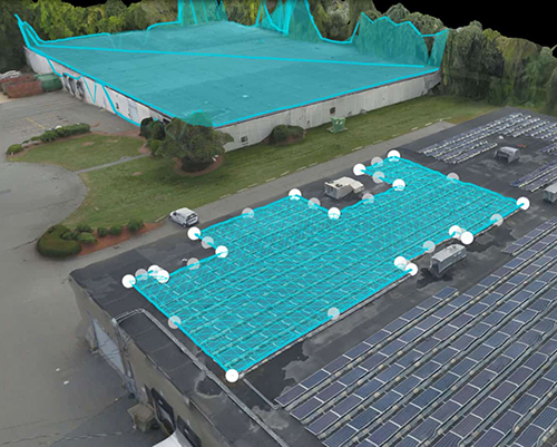
The oblique images will also be captured along with airborne GPS information that will be used
to geo locate the images.
Additionally, so we should install and survey a marked ground control points
that will be also used for the aerial triangulation of the block.